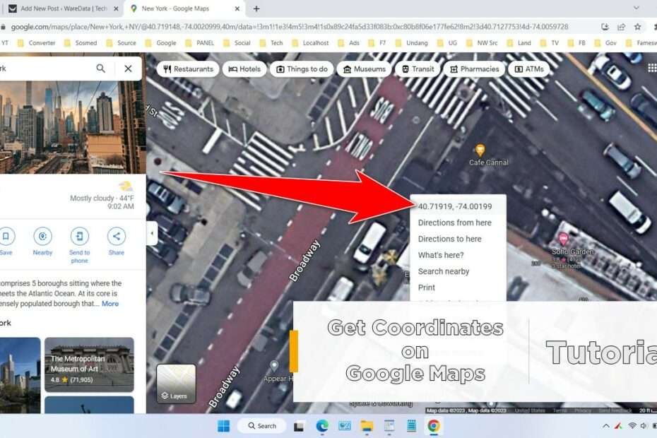
In this article, we will discuss how to easily get location coordinates on Google Maps. Whether you need the coordinates for mapping, navigation, or other purposes. We will walk through the process step-by-step, including how to search for a specific location and how to access the coordinates. By the end of this article, you will have a solid understanding of how to use Google Maps to find location coordinates.
Why do you need coordinates?
Knowing the coordinates of a location can be extremely useful in a variety of situations. For example, you may need to provide GPS coordinates to a delivery driver, or you may want to plan a hiking route with specific waypoints. Coordinates can also be used in mapping applications and GPS devices to help navigate to a specific location. Whatever your reason for needing location coordinates, By using Google Maps you can also find the coordinates of a location quite accurately.
Location Coordinates in Google Maps and How They are Formatted
Location coordinates in Google Maps are a set of numerical values that represent a specific location on the Earth’s surface. They are often used in geographic information systems (GIS) and mapping applications to pinpoint a location. The coordinates are typically displayed in a specific format, known as latitude and longitude.
Latitude and longitude are the two coordinates that make up a location’s coordinates. Latitude is a measure of a location’s distance north or south of the equator, while longitude is a measure of a location’s distance east or west of the prime meridian. The coordinates are typically presented in the format of (latitude, longitude). For example, the coordinates for New York City would be (40.730610, -73.935242).
Google Maps uses the World Geodetic System (WGS 84) as the reference system for its maps. This system is widely used in GIS and GPS applications and is based on a geographic coordinate system that uses the Earth’s ellipsoidal shape to define locations.
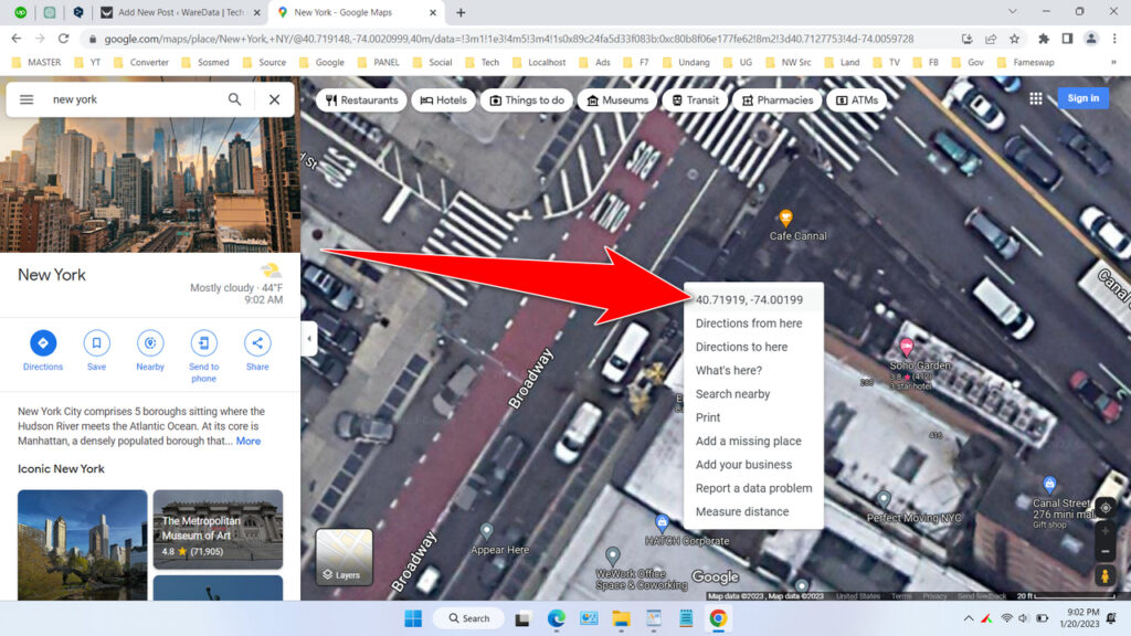
In Google Maps, you can find the coordinates of a location by searching for the location, placing a pin on the location, or right-clicking on the location and selecting “What’s here?“. The coordinates will appear on the popup with a caption..
How to Get Coordinates Quickly on Google Maps
- Open Google Maps at https://www.google.com/maps.
- Find the location you want, you should zoom to the maximum so that the coordinate results are more accurate. You can Zoom the location by scrolling up using your mouse.
- Right-click on the location you selected, then the context menu will display the coordinates of the location you selected (at the top). See the following picture.

- You can copy the coordinates by clicking on them.
Another Way to Find Coordinates on Google Maps
Another way to get location coordinates on Google Maps is through the Google Maps URL itself, although it is quite complicated, this method is also quite accurate to find the coordinates of a location.
You can see a guide on how to get location coordinates on Google Maps in the following video.
In conclusion, get location coordinates on Google Maps is a quick and easy process. By following the steps outlined in this article, you will be able to find the coordinates of any location using the popular mapping service. Whether you need to provide coordinates to a delivery driver, plan a hiking route, or navigate to a specific location, Google Maps makes it easy to find the information you need.
It’s also important to keep in mind that the coordinates format on Google Maps is based on the World Geodetic System (WGS 84) and the format is (latitude, longitude). Understanding this format and the way coordinates work is important for the use case you have. Knowing the coordinates of a location can open up a whole new world of possibilities and can make many tasks much more efficient. We hope this article has been helpful in your quest to find location coordinates on Google Maps.
Maybe you’re interested too?

